We ended our day with a walk-around the district enjoying its modern look. First is the Lighthouse located on The Green, the riverfront pathway system along the Saint John River in downtown Fredericton. The replica lighthouse has been a landmark since 1989 when it was built for a tour boat company, and has been reinvented today as restaurant.

At one time over 30 lighthouses were along the Saint John River; now a buoy system of channel marking has eliminated their need, and the few that remain are automated. The light at the top of this lighthouse is fully functional.


biking help
The number of cyclists in the city called for the following help.


watermark sculpture
The Saint John River floods often because the city was built on a flood plain; it’s already high now. An artist created this high-water marker to serve as a real-time flood level indicator during the annual flood season.

Here’s Barn next to the highest post. Now you can see how really tall it is.

When the lowest post is submerged, the river has officially reached flood level.
More info:

Since Fredericton was built on a flood plain, it is often threatened by flooding. First settlers were attracted to this area because the soil was free from stone and dense forest growth. However, annual flooding changed their minds since homes and livestock were often swept away.

Yes, it is really close by, just across the street.

The most significant floods were in 1936, 1973, and 2008. The 1936 flood happened prior to a dam being built and caused an ice jam that destroyed the railway bridge.

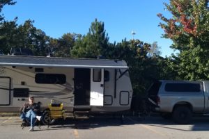
As we walked back to our truck, we saw this bush with its changing leaves.

That’s it for today. Tomorrow we have more places to share with you!
